Community Landscapes Project
This project was undertaken by the School of Geography and Archaeology and Earth Resources in conjunction with Devon County Council and in collaboration with Devon Archaeological Society and Local Archaeological Groups.The project intended to bring together the nascent interest of the general public in archaeology in Devon and new developments in archaeological science and landscape archaeology. The aim is to create a model which will be transferable to other counties nation-wide. Landscape archaeology is a non-site based approach to archaeology whereby sites, finds and landscape features (include. field boundaries, paths, woodlands etc.) are all recorded and integrated on maps or in this case using a Geographical Information System (GIS). Both adults and school students participated in unravelling the landscape of representative study areas in Devon and became part of teams employing scientific techniques and new technologies.
The scientific aspects included the study of soils and small mires or bogs (ubiquitous in Devon) and the use of macrofossils, pollen and beetle remains for the production of an ecological history of the survey area. Such analysis and scientific backup is not usually available to local groups working on the study of a single area. The project aimed to increase both public participation and interest in the scientific and technological aspects of modern archaeology through participation and in doing so provide a heritage resource.
The project aim was introduce the public to modern landscape archaeology including the use of geographical information systems (GIS), geophysical positioning system (dGPS)-based survey and scientific analysis of soils and sediments. The public became actively involved at all stages providing a benefit not only through a greater understanding of the forces that have shaped our landscape but also modern technology. The starting point for the project was that conservation and protection of our landscape heritage must be underpinned by both knowledge and public interest. We believe that in Hoskins’ county there is ample potential for public interest which just needed to be inspired, mobilised and supported. The project sought to create a transferable model of the collection and collation of landscape information which combined recent technology and a scientific approach. The project will be closely associated with the development of the County Sites and Monuments record as an educational resource.
The landscape heritage of Devon is often seen in terms of a few particularly rich area such as Dartmoor. It has yet to be perceived by the public that all areas have archaeological potential. In order to redress this, fairly `average’ but diverse areas of the county were investigated, areas for which at present there is little unpublished or published information e.g. the Blackdown Hills. The location of our interest was spread throughout the county. In East Devon, it was the Blackdown Hills north of Honiton, nearer to Exeter it was the Clyst Valley between Exeter and Cullompton. There are further squares located in North Devon, at Hartland and on the Hartland Moors, one in mid Devon covering the area of Rackenford/Knowstone Moors and a final area at Bantham/Thurlestone in the south. We envisaged that in each area of the study history and archaeology groups would support the efforts and in return they received a copy of all the data retrieved. The project will ran for three years (2001-4) by the Heritage Lottery Board.
To give you a flavour of the project below are some images of various events, however you will find hundreds more photos throughout this website.
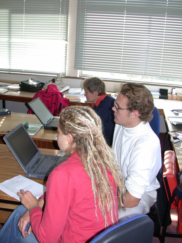
Both students and volunteers mixed together during free training in the use of the Geographical Information System
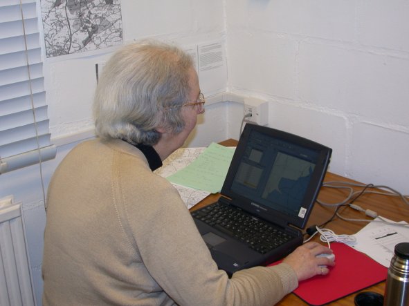
Volunteer Lorinda Legge after training begins the job of inputting data on to the Geographical Information System
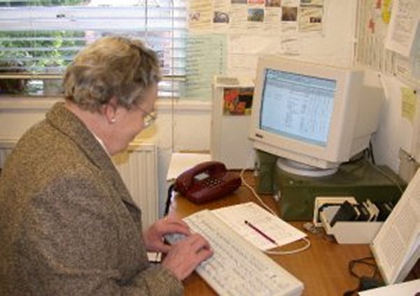
Anne Simpson taking the transcribed 19th century Tithe Apportionment records and inputs the information to a spreadsheet.
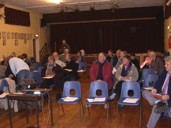
Walks, talks, presentation and all about local archaeology
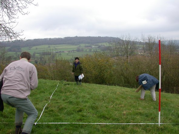
Volunteers Archaeological fieldwork in Devon
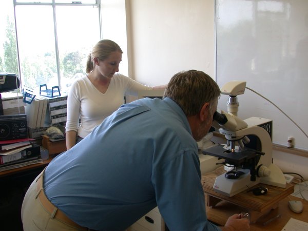
Volunteers working in the laboratories at the University of Exeter.
Use the menu bar to see more
If you want to know more about how set up the project and ran it then use the 'Project Team' button in the menu bar.
If you need to find out more about the details of this project then feel free to contact:
Sean Hawken Project Manager
email: s.d.hawken@exeter.ac.uk
Telephone: 01392 263851